


![]()
![]()
![]()
![]()
![]()
![]()
![]()
![]()
![]()


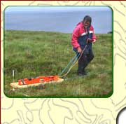

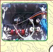
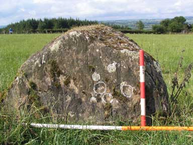
Geological SurveysGeological surveys are designed to enable the mapping of underlying geology, mineral deposits and water resources. This information is used to inform quarrying, mineral extraction, hydrogeological projects and to aid geotechnical engineering. We have over 25 years experience in carrying out projects in Ireland and overseas using a range of geophysical techniques to aid all your project requirements. Typically geological assessments include desk-based research, reporting on the sediments and bedrock underlying a particular area, mapping outcrop and assessment of the geological conditions in a survey area. Geophysical surveys provide a platform to gain this information without the need for soil or rock disturbance. Traditional methods include Vertical Electrical Sounding (VES), Electrical Resistivity Tomography (ERT) and Ground Penetrating Radar (GPR) although other methodologies can also be used enabling a complete assessment to be gained of the geological conditions relating to a site. LGS expertise in a wide range of different survey types also allows the intergration of archaeological assessments into the geological surveys, often important when developing quarrying or mineral extraction projects.
Survey requirementsIf you would like to contact us to discuss your requirements so that we can develop a project plan and quotation, it would be useful to have the following information:
|